


Specifications

Description
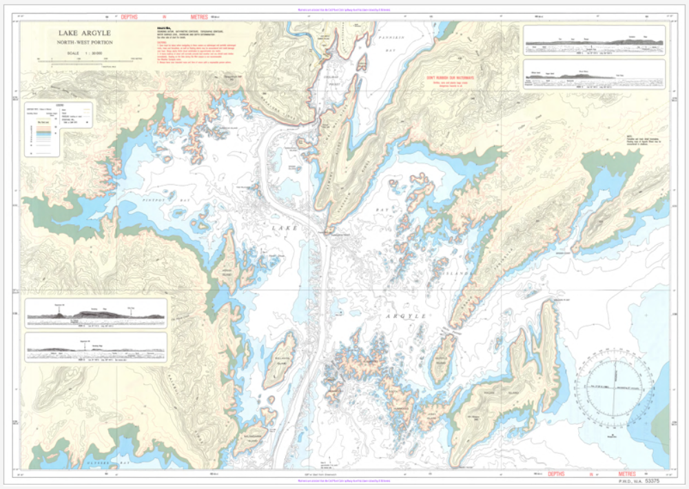
WA53375 — Lake Argyle is a detailed navigation chart published by the Western Australian Department of Transport to support safe recreational and local commercial boating on Lake Argyle, a vast inland reservoir in the East Kimberley.
In the interest of safe boating, the Department of Transport and Major Infrastructure (DTMI) publishes detailed nautical charts of the Western Australian coastline for use by recreational and local commercial vessels.
These charts are not intended as meeting any chart carriage requirements under either Australian or international regulations.
Printed on Demand.

WA53375 - Lake Argyle DPI Chart
Regular price
$35.00 AUD
Sale price
$35.00 AUD
Regular price
Unit price
per
