

Specifications

Description
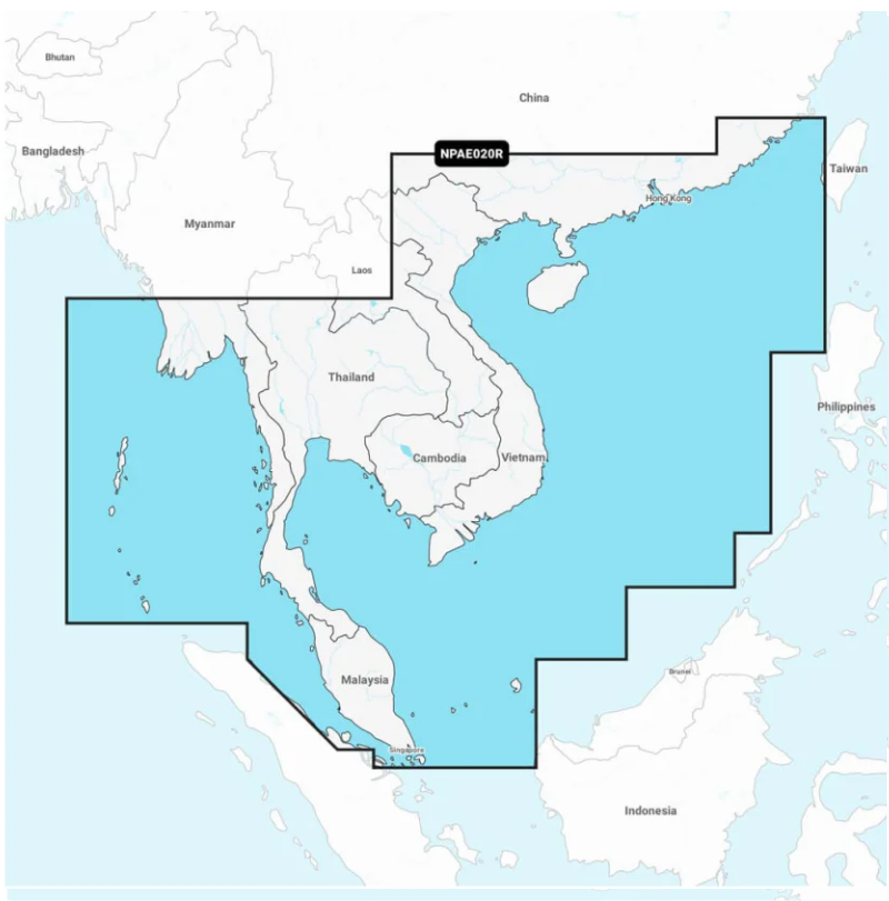
Navionics Platinum+™ | NPAE020R | microSD™/SD™ and One-year Subscriptionn
Plug and play: Preloaded card with both Nautical Chart and SonarChart™.
• Get the most out of your chartplotter with 3D View, satellite overlay and port photos.
• View detailed shorelines with marinas, docks and boat ramp locations.
• Increase your awareness of shallow waters and hazardous areas at any depth level including shoals, rocks, wrecks and more.

Navionics Platinum+™ South China & Andaman Seas (010-C1298-40)
Regular price
$550.00 AUD
Sale price
$550.00 AUD
Regular price
Unit price
per
