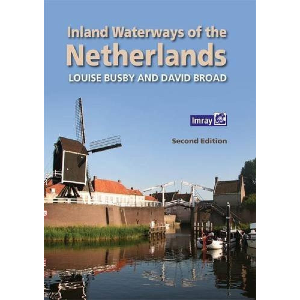
Inland Waterways of the Netherlands (2nd ed)
SKU:P40757
Couldn't load pickup availability

Specifications
Description
The Netherlands has the densest network of inland waterways in Europe, spanning The Netherlands has the densest network of inland waterways in Europe, spanning roughly 6,000 kilometres of navigable rivers and canals. This intricate system serves as a crucial backbone for international commercial freight, standard municipal water management, and leisure cruising.
Navigational details are provided for each waterway; comprising dimensions and obstacles to be expected, including service arrangements for bridges and locks. This is followed by details of over 300 stopping places across all twelve provinces; some which are large or popular harbours, and others which are well off the beaten track. Comments on the significant features are expanded for nearly 100 principal venues where more details on things to do and see are provided, as well as information on practical facilities ashore and the authors selective and subjective restaurant tips!
The book is designed to be of interest to all crew members, not just the skipper or navigator, to establish not only how to approach a place but also what to do or see, and whether it will be of interest on arrival. Easy to browse, the book's illustrations have been selected to give a flavour of this water-loving country as well as to prepare the visiting yachtsman, whether under power or sail.
Author: BUSBY & BROAD
Paperback: 282 pages
SKU: P40757
Inland Waterways of the Netherlands (2nd ed)
The Netherlands has the densest network of inland waterways in Europe, spanning The Netherlands has the densest network of inland waterways in Europe, spanning roughly 6,000 kilometres of navigable rivers and canals. This intricate system serves as a crucial backbone for international commercial freight, standard municipal water management, and leisure cruising.
Navigational details are provided for each waterway; comprising dimensions and obstacles to be expected, including service arrangements for bridges and locks. This is followed by details of over 300 stopping places across all twelve provinces; some which are large or popular harbours, and others which are well off the beaten track. Comments on the significant features are expanded for nearly 100 principal venues where more details on things to do and see are provided, as well as information on practical facilities ashore and the authors selective and subjective restaurant tips!
The book is designed to be of interest to all crew members, not just the skipper or navigator, to establish not only how to approach a place but also what to do or see, and whether it will be of interest on arrival. Easy to browse, the book's illustrations have been selected to give a flavour of this water-loving country as well as to prepare the visiting yachtsman, whether under power or sail.
Author: BUSBY & BROAD
Paperback: 282 pages
SKU: P40757