

Specifications

Description
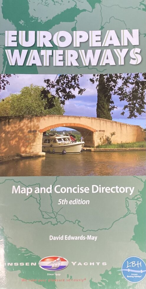
Recreational navigation represents an economic activity of increasing importance. Boaters want to cruise to new destinations, far from their home port, but perhaps only a few weeks away by water.
This map and concise directory are designed as a first source of information to help plan such trips, and to raise awareness of the existence of navigable waterways as valuable living heritage throughout Europe.
First side, Europe from Ireland and Portugal to the Caspian Sea - dimensions 1210 x 870 mm. scale 1:4 000 000; Enlargement on reverse, with unprecedented detail, covering Dublin to Bratislava on the Danube scale 1:1 500 000.
Folded in stiff cover, 290 by 156mm, with 56-page directory by David Edwards-May; brief description of waterways in each country, followed by addresses of waterway authorities, boating associations, etc.
Author : David Edwards-May
Softcover
SKU : P2744

European Waterways Map
Regular price
$49.95 AUD
Sale price
$49.95 AUD
Regular price
Unit price
per
