

Specifications

Description
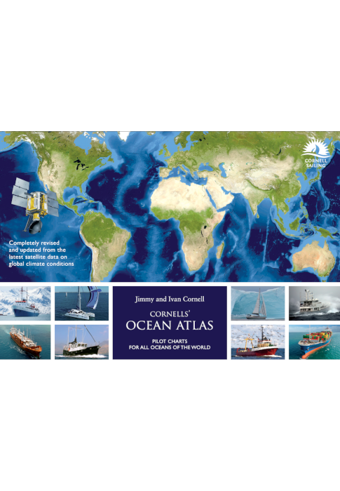
Cornells’ Ocean Atlas 3rd edition - Pilot charts for all oceans of the world - Jimmy and Ivan Cornell
World Cruising Series
In the 12 years since the first edition of this atlas was published there has been a marked intensification of the effects of global warming on weather conditions throughout the world.
To present an accurate picture of the actual weather conditions that prevail in the world’s oceans, the pilot charts featured in this atlas are based on the data collected by a network of meteorological satellites, augmented by observations obtained from meteorological buoys and other sources, during the last twenty-five years.
In this fully revised and updated edition the main focus is on all changes that may affect offshore voyages. One of the most noticeable phenomenon is the decrease in the regularity and reliability of trade winds, as witnessed by sailors on some of the frequently travelled ocean routes. However, the most significant and visible change has been the increased intensity and extent of tropical cyclones, both in the duration of the critical seasons and the areas affected. As this phenomenon has such a major impact on voyage planning, and safety generally, in this new edition the areas affected by tropical storms in every ocean are highlighted on the relevant monthly charts. The extent of those areas is based on the recorded tracks of such storms in recent years.
The safety factor in voyage planning is now even more important than in the past and this fully updated edition of Cornells’ Ocean Atlas will make it possible to plan a safe voyage even in these changing times. For those who intend to leave on a voyage in the near future, it will provide a valuable tool in planning, preparing, and bringing a journey to a safe conclusion.
ISBN 9781916091047 : Published 2023 3rd Edition
Authors : Jimmy and Ivan Cornell
Spiral bound : 156 pages
SKU : P19452

Cornells’ Ocean Atlas 3rd Edition - Pilot charts for all oceans of the world
Regular price
$250.00 AUD
Sale price
$250.00 AUD
Regular price
Unit price
per
