Online Shopping
- Accessories
- Books Commercial
- Books Recreational
- Boat Building, Repair & Maintenance
- Canoeing, Kayaking, Rowing
- Childrens Books
- Clymer Outboard Manuals
- Coffee Table Books
- Collectable /Limited Editions
- Cooking
- Cruising Guides
- Design
- Diving/Marine Life
- Electrics & Electronics
- Engines
- Fiction
- First Aid
- Fishing
- Fishing
- General Interest
- History
- History Australia
- History General
- History Liners
- History Naval
- Humour
- Knots
- Logbooks
- Marine Art
- Marine Stories
- Meteorology
- Modeling
- Navigation
- Power Boats
- Rigging
- RYA – Royal Yachting Association
- Sailing Basic
- Sailing Cruising General
- Sailing Multihull
- Sailing Racing
- Sailing Racing Rules
- Seamanship
- Tide Tables
- Yachting Australia
- Calendars
- Charts
- DVD & CD
- Fiction
- Gift Items
- Gift Vouchers
- Gift Wrapping
- Navigational Equipment
- NEW TITLES
- Online Training Courses
- Radio
- Sailing Watches
- Software
- Specials
- Uncategorized


NP350(1) Admiralty Distance Tables Atlantic Ocean Volume 1, 2nd Edition
$107.50 GST
NP350(1) Admiralty Distance Tables Atlantic Ocean Volume 1, 2nd Edition 2011
Covering :
North Atlantic Ocean, South Atlantic Ocean, North-west Europe, Mediterranean, Caribbean & Gulf of Mexico
The Admiralty Distance Tables are a three part series of tables, sub-divided by region, giving the shortest distances between ports. There are supporting diagrams and text as well as link tables for places not in the same or adjacent table.
SKU: NP3501
Related products
-
 British ADMIRALTY Publications
NP133C Electronic Chart Maintenance Record, Editon 2017
$108.50 GST Add to cart -
-
 British ADMIRALTY Publications
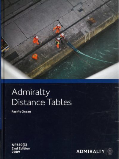
NP350(3) Admiralty Distance Tables. Pacific Ocean Volume 3 2nd Edition
$107.50 GST Add to cart
Online Shopping
- Accessories
- Books Commercial
- Books Recreational
- Boat Building, Repair & Maintenance
- Canoeing, Kayaking, Rowing
- Childrens Books
- Clymer Outboard Manuals
- Coffee Table Books
- Collectable /Limited Editions
- Cooking
- Cruising Guides
- Design
- Diving/Marine Life
- Electrics & Electronics
- Engines
- Fiction
- First Aid
- Fishing
- Fishing
- General Interest
- History
- History Australia
- History General
- History Liners
- History Naval
- Humour
- Knots
- Logbooks
- Marine Art
- Marine Stories
- Meteorology
- Modeling
- Navigation
- Power Boats
- Rigging
- RYA – Royal Yachting Association
- Sailing Basic
- Sailing Cruising General
- Sailing Multihull
- Sailing Racing
- Sailing Racing Rules
- Seamanship
- Tide Tables
- Yachting Australia
- Calendars
- Charts
- DVD & CD
- Fiction
- Gift Items
- Gift Vouchers
- Gift Wrapping
- Navigational Equipment
- NEW TITLES
- Online Training Courses
- Radio
- Sailing Watches
- Software
- Specials
- Uncategorized