Online Shopping
- Accessories
- Books Commercial
- Books Recreational
- Boat Building, Repair & Maintenance
- Canoeing, Kayaking, Rowing
- Childrens Books
- Clymer Outboard Manuals
- Coffee Table Books
- Collectable /Limited Editions
- Cooking
- Cruising Guides
- Design
- Diving/Marine Life
- Electrics & Electronics
- Engines
- Fiction
- First Aid
- Fishing
- Fishing
- General Interest
- History
- History Australia
- History General
- History Liners
- History Naval
- Humour
- Knots
- Logbooks
- Marine Art
- Marine Stories
- Meteorology
- Modeling
- Navigation
- Power Boats
- Rigging
- RYA – Royal Yachting Association
- Sailing Basic
- Sailing Cruising General
- Sailing Multihull
- Sailing Racing
- Sailing Racing Rules
- Seamanship
- Tide Tables
- Yachting Australia
- Calendars
- Charts
- DVD & CD
- Fiction
- Gift Items
- Gift Vouchers
- Gift Wrapping
- Navigational Equipment
- NEW TITLES
- Online Training Courses
- Radio
- Sailing Watches
- Software
- Specials
- Uncategorized
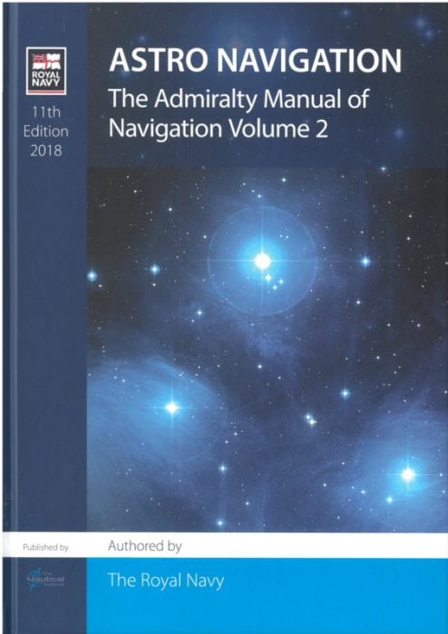
This includes:
- Astro Navigation Theory
- Use of UKHO’s NavPac 4 Calculation Software
- Programmable Calculator Methods
- Practical use of the Marine Sextant
Satellite technology enables almost every mariner to use electronic navaids to fix their position on the oceans. however, electronic systems can be disrupted by errors in a satellite or its ground control systems, defects in shipboard equipment or interference with satellite signals. the celestial chart therefore remains the most reliable tool for mariners navigating out of sight of land.
Author : Alastair Harris
Authored by The Royal Navy
SKU: P03047
Related products
Online Shopping
- Accessories
- Books Commercial
- Books Recreational
- Boat Building, Repair & Maintenance
- Canoeing, Kayaking, Rowing
- Childrens Books
- Clymer Outboard Manuals
- Coffee Table Books
- Collectable /Limited Editions
- Cooking
- Cruising Guides
- Design
- Diving/Marine Life
- Electrics & Electronics
- Engines
- Fiction
- First Aid
- Fishing
- Fishing
- General Interest
- History
- History Australia
- History General
- History Liners
- History Naval
- Humour
- Knots
- Logbooks
- Marine Art
- Marine Stories
- Meteorology
- Modeling
- Navigation
- Power Boats
- Rigging
- RYA – Royal Yachting Association
- Sailing Basic
- Sailing Cruising General
- Sailing Multihull
- Sailing Racing
- Sailing Racing Rules
- Seamanship
- Tide Tables
- Yachting Australia
- Calendars
- Charts
- DVD & CD
- Fiction
- Gift Items
- Gift Vouchers
- Gift Wrapping
- Navigational Equipment
- NEW TITLES
- Online Training Courses
- Radio
- Sailing Watches
- Software
- Specials
- Uncategorized


